
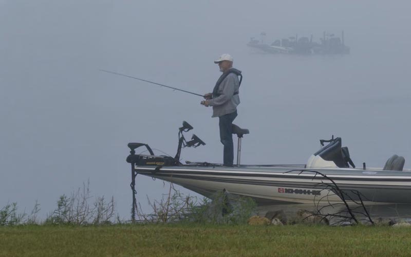
A few inches of water may not look like much across the Ross Barnett Reservoir, but those inches can make a difference at your dock, along the shoreline, or in a favorite fishing spot. Most of us check the weather before making plans around the water. Checking the lake level deserves a place in that routine, too.
We recently added a Reservoir Water Level page to Reservoir Daily News to make that information easier to find. Whether you’re planning to launch a boat, spend the morning fishing, or simply keep an eye on conditions near your home, it gives you another useful resource for life around the Rez.
For fishermen and women, the water level helps explain why a spot that produced fish last week might be quiet today. Rising water can cover shoreline grass, brush, and other places where bass find food and shelter. Falling water can pull fish away from that shallow cover toward nearby deeper water. The direction the water is moving can matter as much as the level itself, giving anglers a reason to adjust where they fish instead of spending the morning wondering where everything went. Water temperature, clarity, and season still matter, but the lake level is another piece of the picture.
Those same changes affect anyone taking a boat out, whether there are fishing rods aboard or a cooler packed for an afternoon cruise. Lower water leaves less clearance above submerged stumps, shallow flats, and other obstacles. It can also change how easily a boat moves through a shallow approach to a dock or ramp. A route that worked on your last trip may deserve a little more attention this time, especially after an extended dry stretch.
For shoreline residents, the effects are often visible without leaving the backyard. Water may sit farther below a fixed dock, making it more difficult to step into a boat. Higher levels can bring water and wave action farther up a bank or seawall, while receding water can expose debris and areas of erosion that were harder to see before. People who walk, paddle, or spend time along the shore may also find that their usual access point looks different.
The Reservoir’s level reflects more than the rain falling in our own neighborhoods. Water arriving from upstream, dry weather, and releases through the spillway all play a part. The Pearl River Valley Water Supply District operates the Reservoir, so its official notices are also worth following when conditions change. A lake-level reading provides useful context, but it cannot tell you whether every ramp is open or every route is clear.
You can find the new page at ReservoirDailyNews.com/reservoir-water. Check it alongside the forecast before your next trip, or follow it over time to learn what changing levels mean at the places you use most. Knowing how the water affects your own dock, boat launch, or stretch of shoreline makes the number considerably more useful.